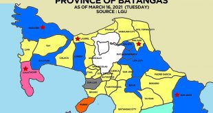
Visit the Calatagan, Batangas page for all information on Calatagan.
- Popular for white sand beaches
- Founded on 1912
POPULATION
Population as of 2010 census: 51,997
Density: 460/km2 (1,200/sq mi)
GEOGRAPHY
Total Land Area: 112.00 km2 (43.24 sq mi)
Coordinates: 13°50′N 120°38′E
BOUNDARIES
North – Municipality of Lian, Batangas
Northeast – Municipality of Balayan, Batangas
East – Balayan Bay and Pagaspas Bay
West – South China Sea
South – Isla Verde Passage
Last Updated: September 5, 2013
 WOWBatangas.com Your Source of Great News and Stories from the Province of Batangas, Philippines


